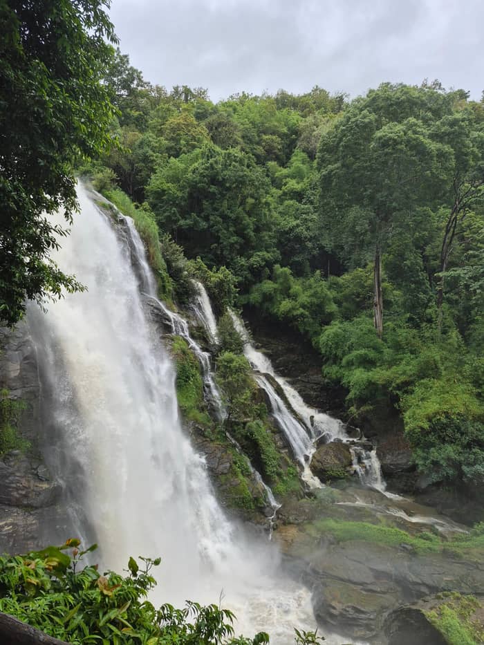
The site day
Group tour
The usual highlights
- Length9 hours
- From$38
- Reviews7,099
Spot your stop
Look at 25 stops
Choose a route, then tap a pin or stop for its note and a Google Maps link.
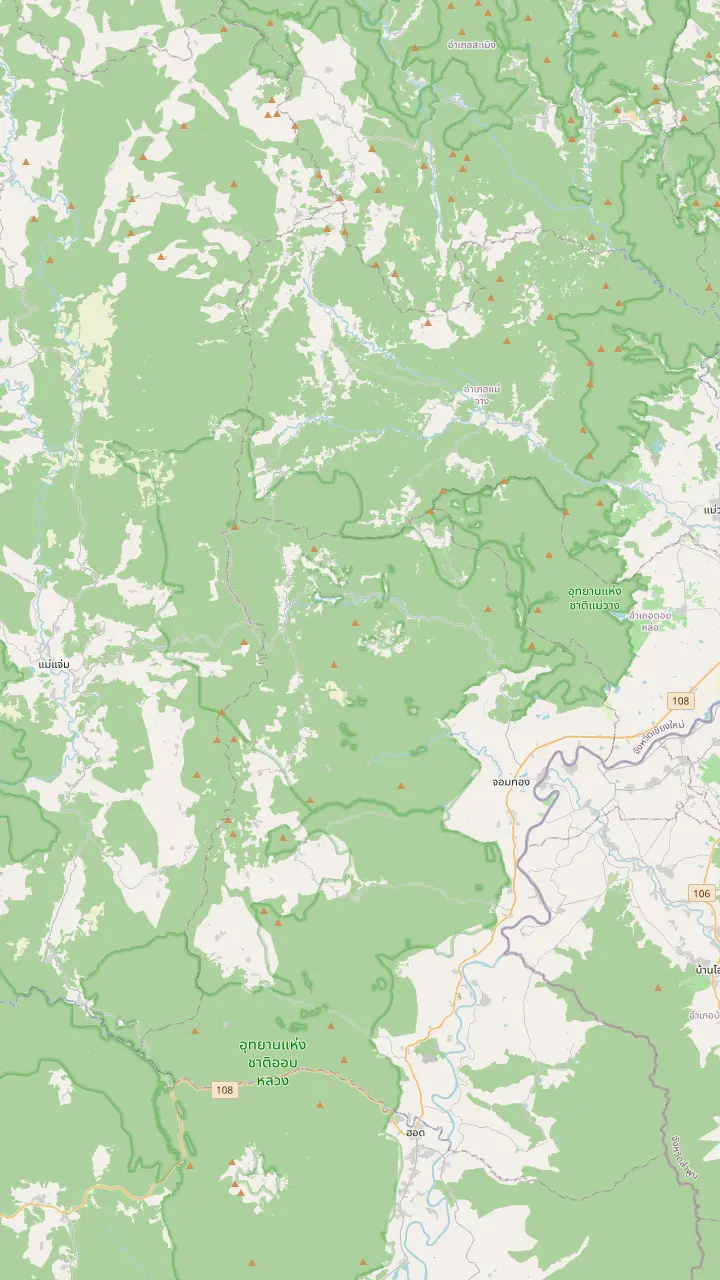
The summit stands 2,565 meters above sea level, the highest point in Thailand.
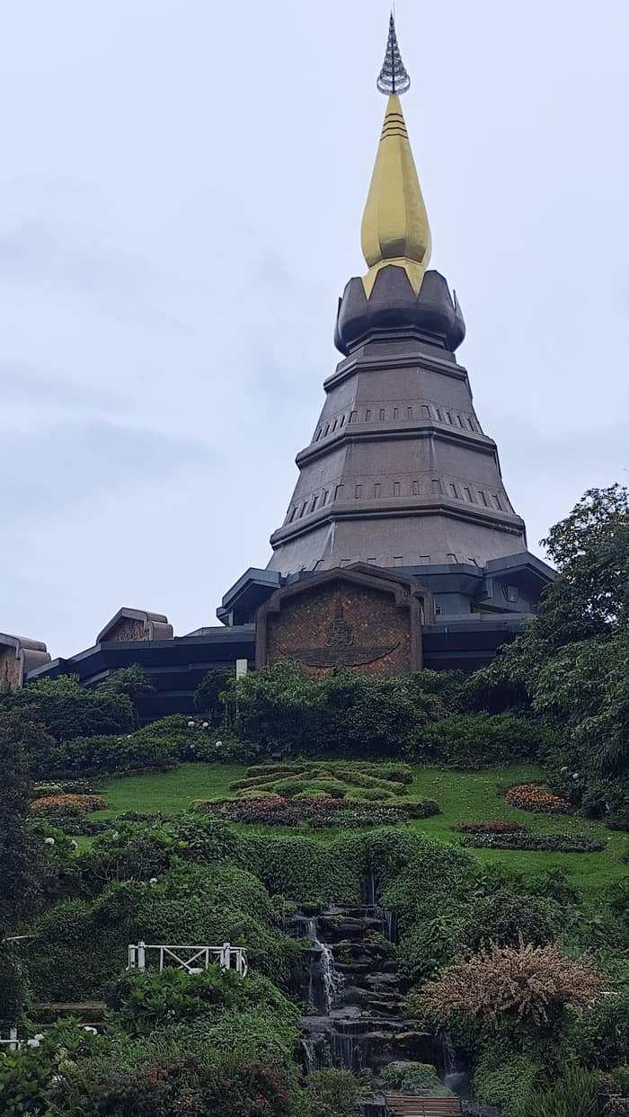
Google MapsTwin royal chedis stand near the top of the road.
Google MapsA guided nature trail of about 3 kilometres at around 2,000 metres above sea level.
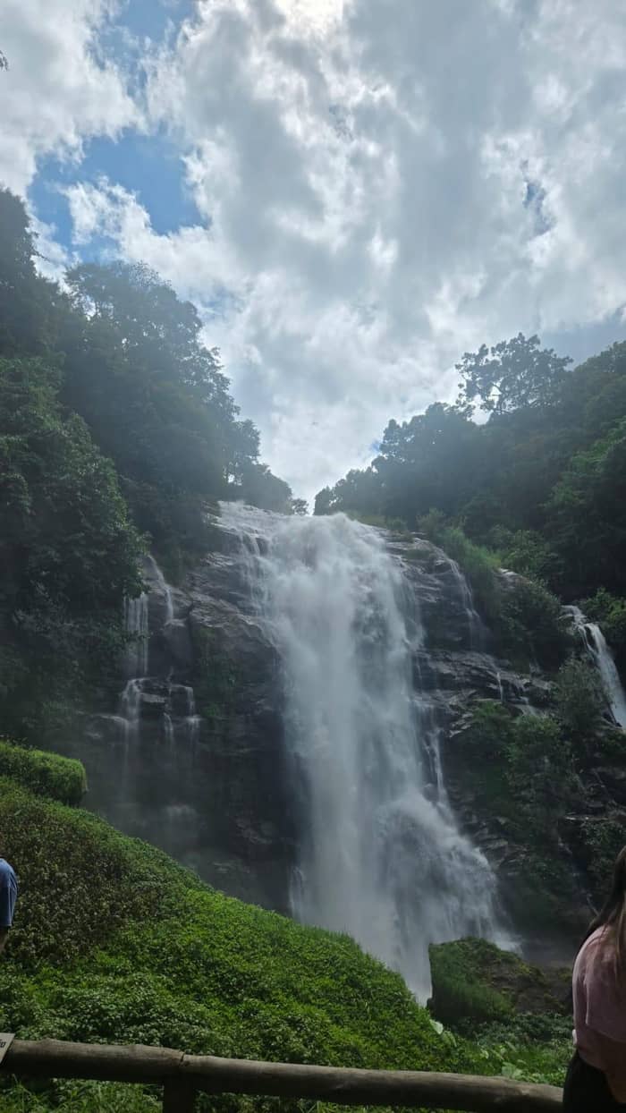
Google MapsA 70-metre waterfall at the 22nd kilometre of the park road.
Google MapsA nature-trail waterfall that closed once when the water ran high.
Google MapsThe park headquarters stand at milestone 31 on the park road.
Google MapsThe park is entered at milestone 8, at the Mae Klang Waterfall.
Google MapsTAT calls Mae Ya the most beautiful waterfall in the country.
Google Maps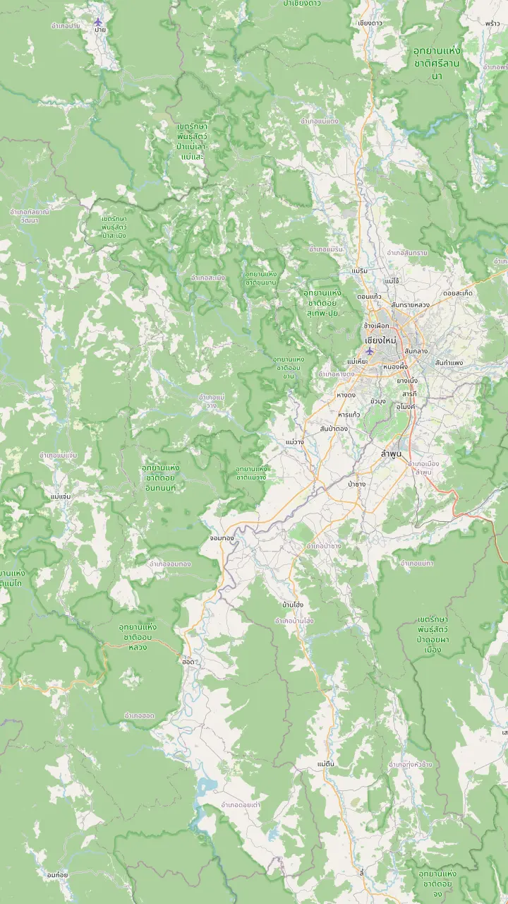
A gate of the old city of Chiang Mai, used here as the reference point for the drive.
Google MapsThe district on Route 108 where Highway 1009, the park road, branches off.
Google MapsThe park is entered at milestone 8, at the Mae Klang Waterfall.
Google MapsThe park headquarters stand at milestone 31 on the park road.
Google MapsThe summit stands 2,565 meters above sea level, the highest point in Thailand.
Google Maps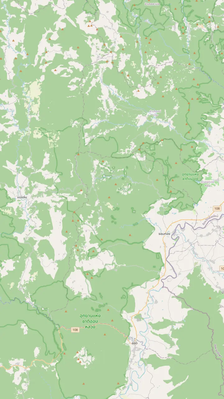
The park is entered at milestone 8, at the Mae Klang Waterfall.
Google MapsA 70-metre waterfall at the 22nd kilometre of the park road.
Google MapsOne of the 13 waterfalls that the park lists among its attractions.
Google MapsA nature-trail waterfall that closed once when the water ran high.
Google MapsTAT calls Mae Ya the most beautiful waterfall in the country.
Google MapsZone 3 of the park lodging is at the Mae Pan and Huai Sai Lueang waterfall area.
Google Maps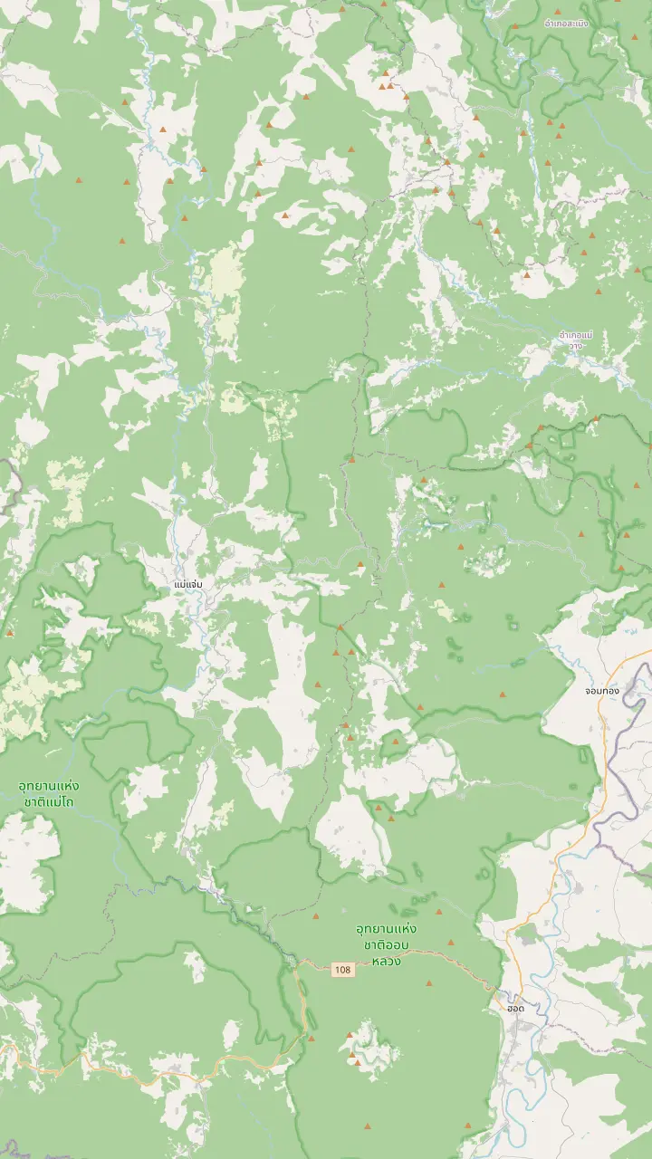
The park headquarters stand at milestone 31 on the park road.
Google MapsZone 3 of the park lodging is at the Mae Pan and Huai Sai Lueang waterfall area.
Google MapsA hill village with a coffee shop and a coffee tasting on a small-group trek.
Google MapsA Royal Project center with 3 guest houses and certified homestays at Baan Pong Noi.
Google MapsTAT suggests this district as an overnight stop, about 2 hours west of Wachirathan.
Google MapsThe district on Route 108 where Highway 1009, the park road, branches off.
Google MapsMap data: © OpenStreetMap contributors
A single mountain road ties together a summit, twin pagodas, waterfalls and forest trails. This guide shows the park on a map, then explains its size, climate, rules and the sights in the order you meet them.
Editorial team, doiinthanontour.top · Updated November 16, 2026 · 7 mins to read
Main facts
Doi Inthanon National Park lies south-west of Chiang Mai and takes in the highest ground in Thailand. The Department of National Parks dates the park to 1972, as the sixth national park of Thailand, with an area of 482 square kilometers; its ground starts at 400 meters and tops out at 2,565 meters, the highest summit in the country.1,2 Another park page gives 481.89 square kilometres and says the area was declared a national park on 7 October 1959, with establishment completed in 1972, so the pages describe the same history in different ways.7
The size is the first thing to understand. TAT says the park covers almost 500 square kilometres, a big challenge to see in limited time, and the park text confirms it with an area that takes in parts of Chom Thong, Mae Chaem, Mae Wang and Doi Lo districts.8,7 You will not see all of it in a day, and you do not need to. The famous places cluster along the road from Chom Thong to the summit, and the map above pins them.
The park is also a watershed: the Mae Klang, Mae Malo, Mae Pan, Mae Hoi, Mae Ya, Mae Cham and Mae Khan all rise here, as does a tributary of the Ping that supplies the Bhumibol Dam.9 The attraction list of the park includes 13 waterfalls.4 A glance at a Doi Inthanon tourist map shows the rivers fanning out from the ridge in every direction.
The main sights
| Sight | Where it is | What the sources say |
|---|---|---|
| Mae Klang Waterfall | Milestone 8 | The park is entered here3 |
| Wachirathan Waterfall | 22nd kilometre | A 70-metre fall11 |
| Park headquarters | Milestone 31 | The park office3 |
| Doi Inthanon summit | Top of the road | 2,565 meters above sea level2 |
| Ang Ka Nature Trail | Near the summit | A boardwalk of 360 meters on a listing |
| Kew Mae Pan viewpoint | Around 2,000 metres | Scenery above the cloud23,24 |
| Mae Ya Waterfall | Foothills off highway 108 | Called the most beautiful in the country25,26 |
Places as the park and TAT give them; pins on the map above show the positions.
Searches for national parks in Chiang Mai usually land on Doi Inthanon, and the province holds more than one. The Department of National Parks fee schedule lists Doi Pha Hom Pok, Doi Inthanon and Huai Nam Dang, all in Chiang Mai province, in the same top group.12 Doi Suthep-Pui, the hill behind the city, became Thailand's 24th national park in 1981 and grew to about 261 square kilometers when it was enlarged in 1982.13,14
The two parks nearest the city differ in what they ask of a visitor. Doi Suthep-Pui lies between 330 and 1,685 meters and has its summit at Doi Pui, while Doi Inthanon rises to 2,565 meters, which the province calls Thailand's highest mountain and easy to reach by road.15,2,16 A foreign adult pays THB 100 at Doi Suthep-Pui and THB 300 at Doi Inthanon, so the choice between them shows up at the gate as well as on the map.17,18
TAT sums the park up in its own words as huge, with the top peak of the country, falls, green valleys and the Doi Inthanon Royal Projects.19 That mix of nature and living communities sets it apart from a single-attraction stop. Plan for a full day on it, or longer if you want to stay inside the park.
The park is built around one road. The road approach is about 56 kilometers of Route 108 from Chiang Mai, and then the first milestone to know is 8, where the Mae Klang Waterfall marks the entrance; the headquarters waits at 31.3 Wachirathan Waterfall, fed by the Mae Klang Stream and 70 metres high, sits at the 22nd kilometre of that road.11 Those milestones are a useful way to read the map.
Above the headquarters the road climbs to the summit zone, where the attraction list of the park adds Ang Ka and Kio Mae Pan, and TAT points to the twin Royal Chedis as the landmark of the top.5,29 Ang Ka is nicknamed the gate to the Himalayan Range and holds temperate plants of an old forest; the site listing calls its trail a boardwalk of 360 meters.30
The Kio Mae Pan trail leads to a viewpoint above the cloud. TAT puts Kew Mae Pan near the 2,000 metre mark and says that from its viewpoint, or higher, you look out above the cloud.23,24 Down in the foothills off highway 108 lies Mae Ya Waterfall, which TAT rates as the most beautiful in the country.25,26 Together these are the places the tours and the maps return to again and again.
Plan your visit
Say what you came for and the matching sight appears.
If I want the highest point
The summit
It stands at 2,565 meters.2
If I want a big waterfall near the road
Wachirathan
Its 70 metres stand beside the road at kilometre 22.11
If I want a forest trail with a lookout
Kew Mae Pan
Rated among the most beautiful trails in the country by the park.28
If I want the park without driving
A group tour
The site day runs 9 hours and lists pickup.
If I want the foothills too
Mae Ya
TAT ranks it first for beauty among the country's falls.26
Ways to see it
The site day
The usual highlights
Private
No hiking
Self-drive
Your own timing
See this optionA realistic loop is a long day. The site tour from Chiang Mai fills 9 hours with a brief trail, the grand pagoda, a mountain village and the big fall. A private day with no hiking fits the loop into 8 hours, with a lunch stop at the agricultural station and 40 minutes at the falls. TAT's drive time from the city is about an hour and a half.10
Adding a trail changes the length. A Kew Mae Pan hike day stretches to 11 hours around a trail walk of about 2 hours, and a hiking and sanctuary program fills 12 hours. If you drive yourself, the same loop is possible, but you should plan the stops to fit the daylight and the cold at the top. Start at the entrance with the earliest light and work upward through the day.
Weather affects the schedule more than the distance, and the weather guide on this site goes through it month by month. In short, expect cloud on the upper slopes and a cold summit, and in the cooler months a morning sea of mist that visitors come to see.21,39,10 Keep a layer and a rain shell in your bag at all times.
Cost the loop
Pick your party size to cost each way of seeing the park.
4 options compared
Pick your party size to cost each way of seeing the park.
≈
View≈
View≈
View≈
ViewStarting prices as on the booking platform, converted at the ECB reference rate. You see the exact price at booking.
The main loop
Morning
About 90 minutes in the car, per TAT.10
The gate
Entry is at milestone 8, with the fee collected at the gate.3
The falls
Wachirathan, 70 metres, kilometre 22.11
Midday
The park office stands at milestone 31.3
Afternoon
The summit stands at 2,565 meters.2
The park asks little of visitors, but the few requests matter. The park's one request at the gate is to keep your receipt for checking later, and the entry price is set per person, THB 300 on the foreign adult line of the schedule in force since 7 June 2022.38,18,41 Cars and motorbikes pay a small extra charge of their own. The fee page on this site walks through every line.
Services are limited. A welfare shop trades daily from 08:00 to 20:00, and the park lists phone signal at the Kio Mae Pan trail and at the Wachirathan Waterfall tourist area.42,40 Plan for gaps elsewhere and keep your phone charged. The visitor page offers no public transport timetable, so plan on a tour or your own vehicle.43
The park also protects what it holds. Large animals have gone from the park and most remaining animals are small, with birds such as Green-tailed Sunbird and Ashy-throated Warbler named by the park, so the wildlife to look for is mostly birds, butterflies and plants.44 Stay on the trail, carry out your litter and leave plants where they grow.
Video
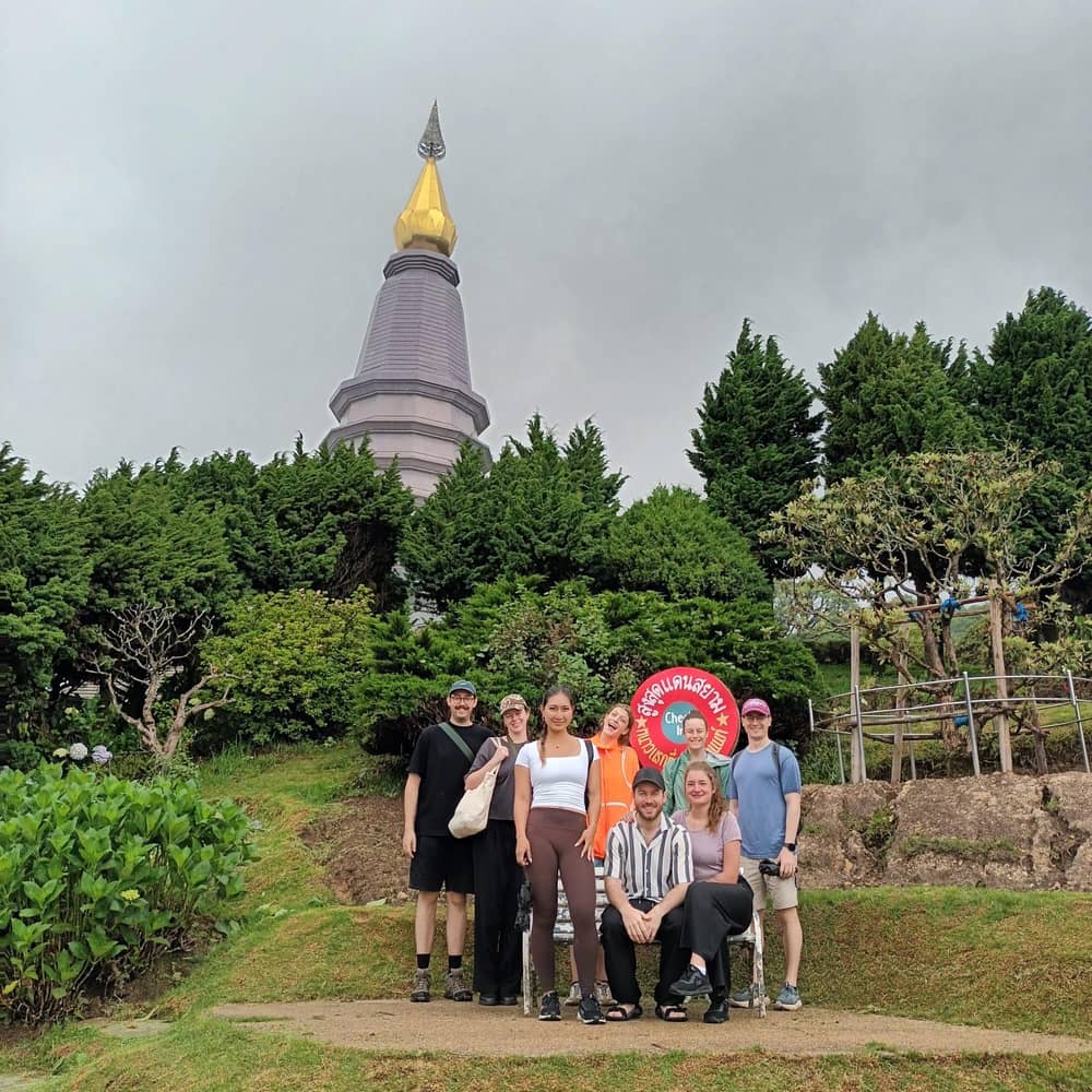
Adventures Two Seek on YouTube · Video data is requested only when you tap play.
Climb to the viewpoint of Kiu Mae Pan or higher, you will be fascinated with the scenery above the high altitude cloud
Before you go
Height splits the park into climate bands: tropical in the lowlands under 1,000 meters, subtropical up to 2,000 meters and temperate above that.20 The calendar is plainer, with March to May as summer, June to November as the wet season and December to February as winter.6 Mid-park temperatures hover near 20 degrees Celsius all year and sink to 15-17 degrees Celsius when December and January arrive.45
Rainfall is heavy. The average annual rainfall in the park is between 2,000 and 2,100 millimeters, shaped by the southwest monsoon that brings moisture and by the northeast monsoon that brings cold and drought.46,47 Waterfalls run strongest in the rainy season, and the trails are muddy then. The park once closed its Pha Dok Siew trail and waterfalls for safety when the water ran high.33
The forests change with altitude too. The park holds montane rain forest, pine forest, deciduous dipterocarp forest and mixed deciduous forest, and at 1,800 meters and above the upper hill evergreen forest carries mosses, orchids, ferns and wild Himalayan cherry.48,49 TAT says the cherry blooms pink in January, for travelers who can handle a frosty morning.50
The park's own activity list runs from nature trails and trekking through plant, bird and butterfly watching to stargazing, mountain biking and camping.51 A single day holds a small selection of these: a waterfall, the pagodas, a short trail and the summit. If you want more, Pha Dok Siew is sold as a trek day from $35, with 2 hours on the trail.
The easiest way to cover the highlights is a tour from Chiang Mai. The site day is the usual pick: from $38, 9 hours, with pickup and a cancellation window of 24 hours, and 7,099 reviews at an average of 4.6. A driver and a guide handle the road, the fee options and the order of the stops, and you finish the day back in the city.
If you would rather stay, the park runs bungalows and a tent area, covered on the accommodation page. If you would rather read first, the guides on this site take the park piece by piece: prices, the entrance fee, getting there, which tour to pick, the weather, the waterfalls, the trails, the summit and the villages. Whatever you choose, start early and keep the park's own map handy.
FAQ
Beside the Mae Klang Waterfall; milestone 31 is the headquarters.3
They include Wachirathan, Mae Ya, Mae Klang and Siriphum.4
It became the 24th national park in 1981.13
It pins the entrance, the headquarters, the summit and the waterfalls.3
A full day: 9 hours with pickup from the city.
The park lists a Public Transport tab with no timetable.43
Sources
Planning a day on Doi Inthanon? Ask a real person here.