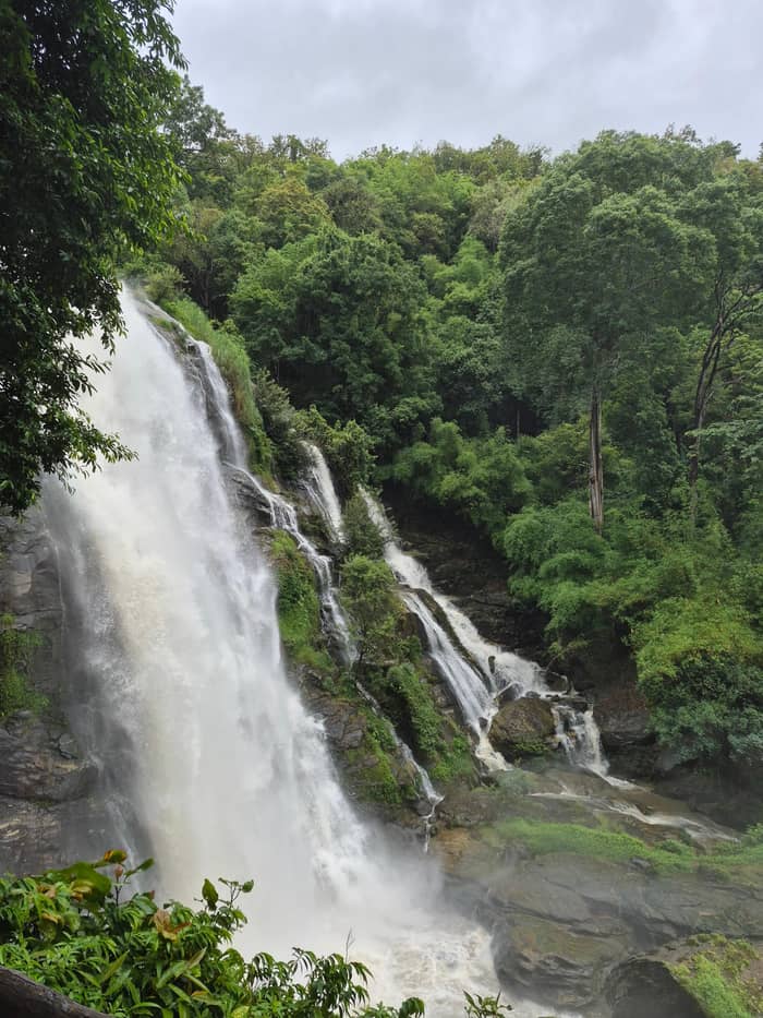
The site day
Group tour
Everything arranged
- Length9 hours
- From$38
- CancelUp to 24 hours
Spot your stop
Look at 25 stops
Choose a route, then tap a pin or stop for its note and a Google Maps link.
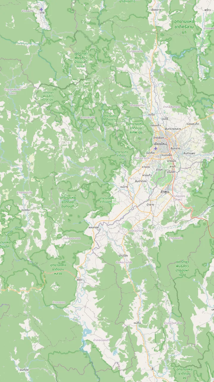
A gate of the old city of Chiang Mai, used here as the reference point for the drive.
Google MapsThe district on Route 108 where Highway 1009, the park road, branches off.
Google MapsThe park is entered at milestone 8, at the Mae Klang Waterfall.
Google MapsThe park headquarters stand at milestone 31 on the park road.
Google MapsThe summit stands 2,565 meters above sea level, the highest point in Thailand.
Google Maps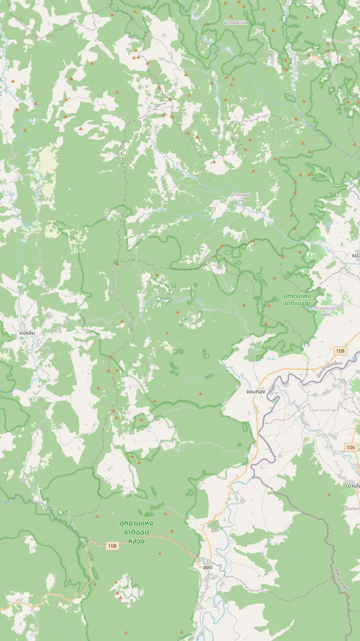
The summit stands 2,565 meters above sea level, the highest point in Thailand.
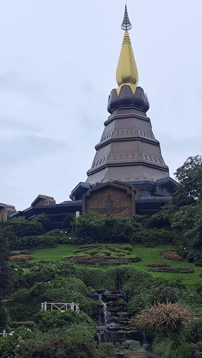
Google MapsTwin royal chedis stand near the top of the road.
Google MapsA guided nature trail of about 3 kilometres at around 2,000 metres above sea level.
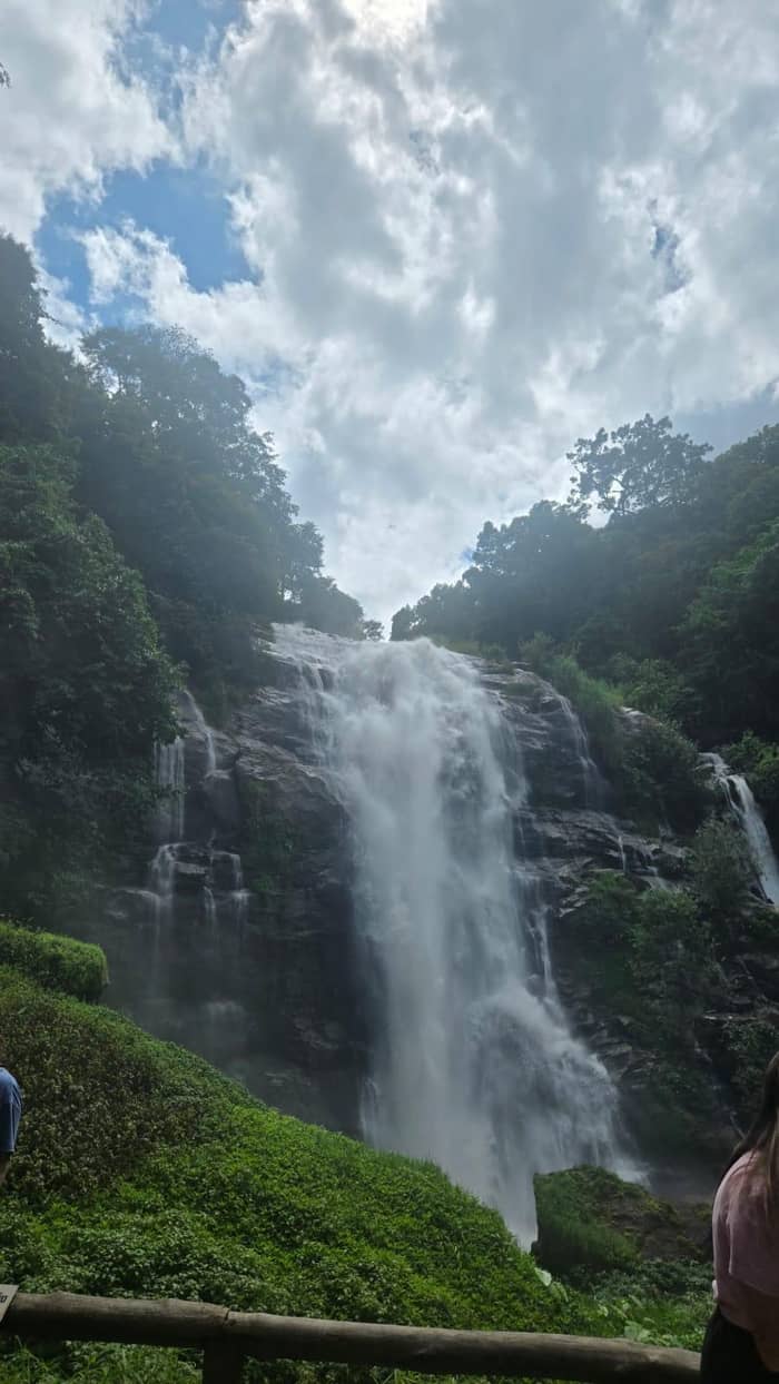
Google MapsA 70-metre waterfall at the 22nd kilometre of the park road.
Google MapsA nature-trail waterfall that closed once when the water ran high.
Google MapsThe park headquarters stand at milestone 31 on the park road.
Google MapsThe park is entered at milestone 8, at the Mae Klang Waterfall.
Google MapsTAT calls Mae Ya the most beautiful waterfall in the country.
Google Maps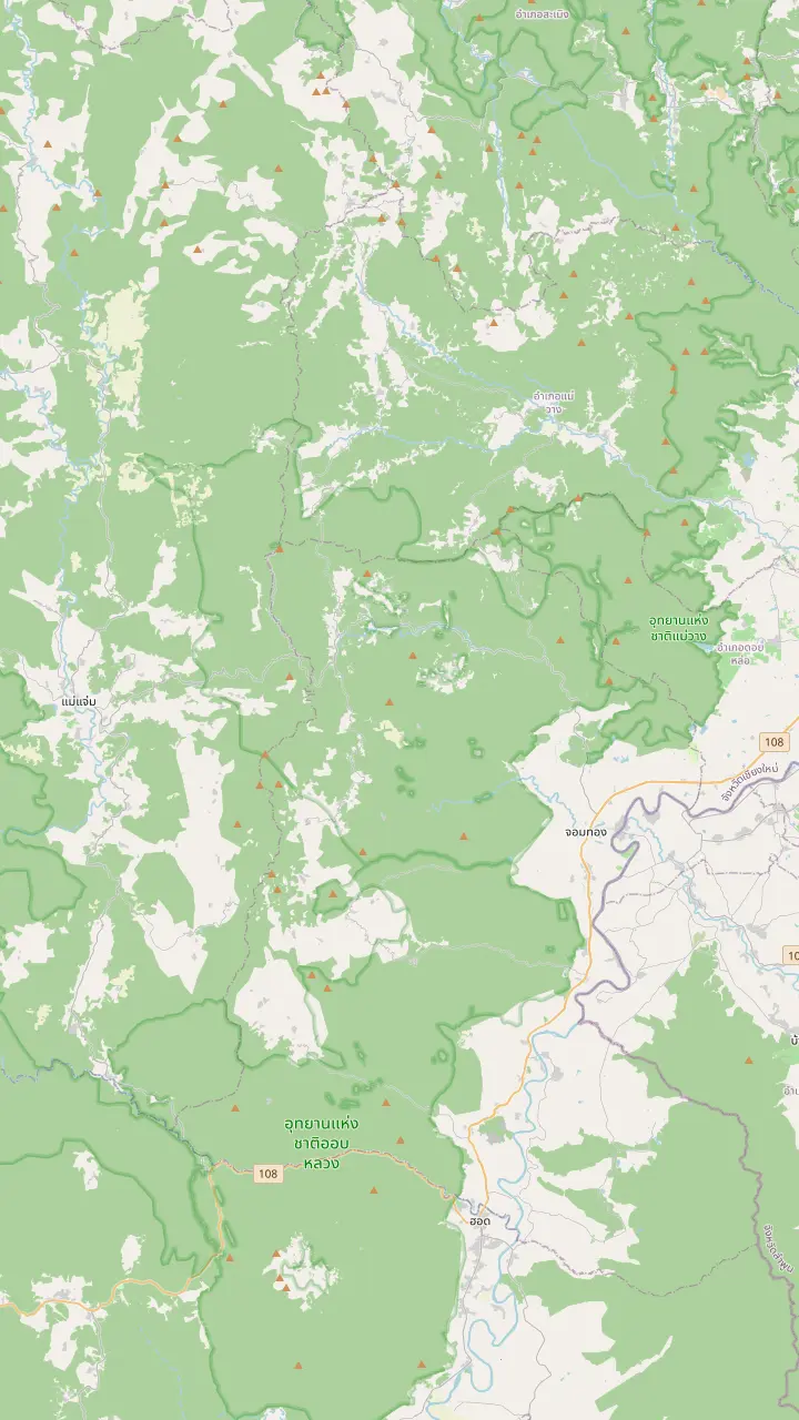
The park is entered at milestone 8, at the Mae Klang Waterfall.
Google MapsA 70-metre waterfall at the 22nd kilometre of the park road.
Google MapsOne of the 13 waterfalls that the park lists among its attractions.
Google MapsA nature-trail waterfall that closed once when the water ran high.
Google MapsTAT calls Mae Ya the most beautiful waterfall in the country.
Google MapsZone 3 of the park lodging is at the Mae Pan and Huai Sai Lueang waterfall area.
Google Maps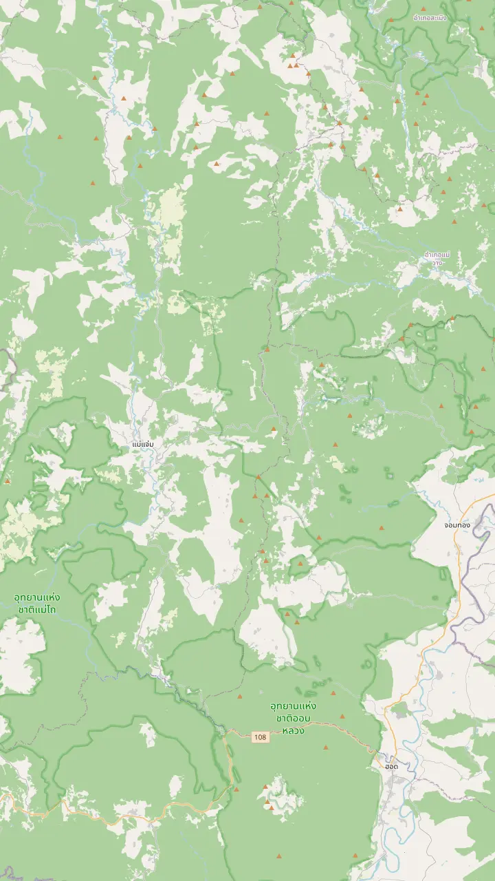
The park headquarters stand at milestone 31 on the park road.
Google MapsZone 3 of the park lodging is at the Mae Pan and Huai Sai Lueang waterfall area.
Google MapsA hill village with a coffee shop and a coffee tasting on a small-group trek.
Google MapsA Royal Project center with 3 guest houses and certified homestays at Baan Pong Noi.
Google MapsTAT suggests this district as an overnight stop, about 2 hours west of Wachirathan.
Google MapsThe district on Route 108 where Highway 1009, the park road, branches off.
Google MapsMap data: © OpenStreetMap contributors
The park lies south-west of the city, and the road is simple while the choice of transport is not. See the route on the map, the drive times and when a tour, a driver or your own car fits best.
Editorial team, doiinthanontour.top · Updated November 16, 2026 · 7 mins to read
Main facts
Doi Inthanon lies south-west of Chiang Mai, and one road leads there. The park's own directions send you down Route 108 for about 56 kilometers and then right onto Provincial Highway 1009 two kilometers short of Chom Thong.5 Milestone 8, by the Mae Klang Waterfall, is the gate, and milestone 31 is the headquarters, with 48 kilometers given as the full distance.1 The map above marks the old city gate where many hotel pickups start, Chom Thong, the entrance, the headquarters and the summit.
How far Doi Inthanon is from Chiang Mai depends on which point you measure to. The turn-off from Route 108 is about 56 kilometers from the city, and the park road then continues to the headquarters and the summit.1 TAT's summary is roughly 90 minutes in the car from town, and the private listings count 1.5 hours of car time each way, which fits.2 The drive is slower on the climb than on the highway, and roadworks or traffic can add to it.
Plan your arrival around the weather as much as the clock. Cool-season mornings bring the sea of mist that fills the viewpoints.2 An early start also leaves room for the stops between the gate and the summit; TAT calls the almost 500 square kilometres of the park a big challenge to cover in limited time.6 Leave the hotel early and the road will feel shorter.
Compare the ways
| Way | Typical start | What it covers | Starting price |
|---|---|---|---|
| Group tour | Hotel pickup | Transport, guide and stops | from $38 |
| Private car day | Hotel pickup | A private group and no hiking | from $75 |
| Private with Mae Ya | Hotel pickup | A car ride of 1.5 hours | from $140 |
| Self-drive | Your own start | Licence and helmet rules3 | Fee THB 300 plus THB 30 for a car7,8 |
| Public bus | No timetable on the park page | Heading with empty columns4 | Not stated |
Prices are from prices; fees as the park schedule states them.7
A tour solves the transport question with one booking. The site listing is a van day of 9 hours out of Chiang Mai, naming a boardwalk trail, the grand pagoda, the village stop at Mae Klang Luang and the waterfall at the end, from $38. Other listings are specific about timing: the trek day picks up early, at 7:00 to 7:30 AM, and the waterfalls and villages day has guests back at the hotel between 5:00 PM and 5:30 PM.
Drive times differ a little between listings. A small-group day counts 2 hours in the van each way, the hiking and sanctuary program counts 1.5 hours, and the private days count 1.5 hours in the car. Ask where the pickup is and where the first stop is before you book.
Pickup rules vary too. A sightseeing-only listing collects guests within 5 km of the Three Kings Monument and otherwise sets a meeting point, while the ticket and lunch day charges for hotels beyond the city center, from THB 500 each way at 6 to 15 km. If you stay in the Old City you are usually inside the free zone, and if you stay farther out, read the pickup line first. The prices page lays out each of these day by day.
Ride times
Ride times as the listings state them; the van and car rides begin in Chiang Mai.
Travelers often ask about a bus from Chiang Mai to Doi Inthanon National Park, and the plain answer is that the official sources used here give no timetable. On the park's visitor-information page the Public Transport tab exists, yet its departure, arrival and period columns are blank.4 No scheduled service to the summit road is described anywhere in those pages, so do not plan around one without checking locally.
The structure of the route explains the difficulty. The park road leaves the highway two kilometers before Chom Thong and the real climb begins at the gate on milestone 8, so even a vehicle that reaches the town leaves the longer part to be solved.5,1 Someone relying on shared vehicles would have to arrange each stage separately, and the waterfalls and trails are spread along the road. That is a lot to improvise in a day.
If you want to avoid driving and avoid a group, the private listings fill the gap. A private day with no walking lasts 8 hours, from $75, and a private day with Mae Ya Waterfall runs 9 hours from $140. Both include pickup and someone who knows the order of the stops. For a first visit, that is a simpler answer than a patchwork of public vehicles.
Pick your transport
Pick what matters and the matching way appears.
If I want no planning
A group tour
The site day lists pickup and a 9 hour program.
If I want my own pace
A private car day
A private day lists 8 hours and no hiking.
If I want to drive myself
Self-drive
Accepted documents: a Thai licence, an ASEAN licence or an international permit.3
If I want Mae Ya as well
A private day
The private Mae Ya day runs 9 hours.
If I hope to take a bus
Check locally
The park page shows no timetable.4
Ways in
The site day
Everything arranged
No hiking
Your own pace
Do it yourself
Your own wheels
See this optionDriving yourself is possible and gives you control of the timing. A visitor from abroad may drive with an International Driving Permit, a licence from an ASEAN country or a Thai one, TAT says; a hired car or motorbike needs a valid licence or permit too.3 Riders and passengers on a motorbike must wear helmets.9 If something goes wrong, the Tourist Police can be reached on 1155, in various languages.23
The climb deserves respect on a scooter. The park road rises through the foothills to a summit at 2,565 meters, with subfreezing temperatures possible at the top in winter and low cloud on the upper forest for most of the year.10,24,25 A rider needs a warm layer and a rain shell, and a driver should plan for fog. If you have not ridden mountain roads before, a hired car with a driver is a gentler choice.
The gate costs more when you bring a vehicle. A vehicle adds its own line to the gate bill: a four-wheeled car pays THB 30 and a motorcycle THB 20, besides the person fee for each rider.8 Keep the receipt after paying; the park may ask to see it.22 Fill the tank and eat before the climb, since services near the top are thin.
Compare the cost
Pick your party size and cost each way of getting there.
4 options compared
Pick your party size and cost each way of getting there.
≈
View≈
View≈
View≈
ViewStarting prices as on the booking platform, converted at the ECB reference rate. You see the exact price at booking.
A day by tour
Early pickup
A trek day collects guests early, from 7:00 to 7:30 AM.
The drive
Around 90 minutes by road to the park, per TAT.2
The entrance
The park is entered at milestone 8.1
The climb
The headquarters stands at milestone 31.1
The return
One day sends guests back to the city between 5:00 PM and 5:30 PM.
A self-drive day suits travelers who want to stay longer at one place. You can spend an hour at a viewpoint, pass a stop that leaves you cold and take the park road at your own speed. The park lists trails, trekking, stargazing, mountain biking and camping among its activities, which is a lot to do on your own clock.26 The price of that freedom is planning and the cost of the vehicle.
A tour suits the opposite case. The site day starts from $38 against $34 for the cheapest day listed, and its listing has 7,099 reviews and a 24 hour cancellation window. The guide handles the road, the order of the stops and the fee options, and you are back in the city at the end of the day. For a first visit it is the less stressful way to see the summit, the pagodas and a waterfall in a single day.
Whichever you choose, check these things before you leave. Confirm the pickup time and place, confirm whether the park fee is inside the price, and confirm what you will wear at the top. The park's central region averages about 20 degrees Celsius through the year and the summit can fall below zero in winter; a layer is a sensible bag item in every season.27,24
Video
WithVan on YouTube · Video data is requested only when you tap play.
Around 90 minutes’ drive from Chiang Mai city, Doi Inthanon National Park is a popular destination for visitors who flock to various viewpoints
Before you set off
The usual route climbs straight up the park road, but there are ways to extend it. TAT's idea is to open the day with Mae Ya Waterfall in the foothills close to highway 108 and then continue about 30 kilometres uphill to Wachirathan for a double-waterfall day.28 A private day that includes Mae Ya Waterfall starts from $140 and runs 9 hours. It needs an early start and is best planned with a driver.
A further extension crosses the range. TAT says Mae Chaem, a village known for terraced rice fields on the other side of the range, is about 2 hours west of Wachirathan Waterfall and can be an overnight stop.21 That is a different trip from a day out of Chiang Mai, and it fits a self-drive plan better than a tour. Check road conditions and daylight before you set out.
Deeper in the park, the Royal Project stations are reached by turns off the main road. One is signposted from highway 1009 at 33 km, and another, Khun Wang, lies 106 km out of Chiang Mai, roughly 3 hours by the main route.29,30 These are for visitors with a full day and a vehicle, and they are covered on the Karen villages page. For the standard day, the entrance, the waterfalls and the summit are enough.
FAQ
TAT gives that figure, and tour listings state 1.5 hours or 2 hours each way.2
Its visitor page has a Public Transport tab with blank columns.4
The gate is beside the Mae Klang Waterfall; the headquarters sits farther up, at milestone 31.1
A motorcycle pays THB 20 under the park's fee schedule.8
The site day, the trek day and the private days list pickup, and one charges extra for distant hotels.
Sources
Up next
Planning a day on Doi Inthanon? Ask a real person here.