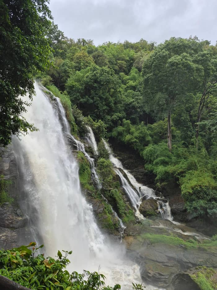
Wachirathan
Roadside fall
Short walk from the car
See this optionSpot your stop
The quick version
Doi Inthanon National Park waterfalls start with Wachirathan beside the park road, then Mae Ya in the foothills and the Pha Dok Siew trail.
The main falls
Look at 25 stops
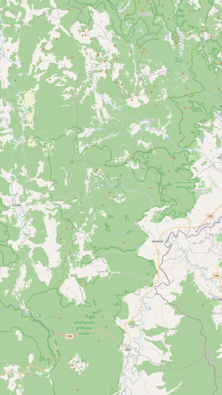
Choose a route, then tap a pin or stop for its note and a Google Maps link.
The summit stands 2,565 meters above sea level, the highest point in Thailand.
Google MapsTwin royal chedis stand near the top of the road.
Google MapsA guided nature trail of about 3 kilometres at around 2,000 metres above sea level.
Google MapsA 70-metre waterfall at the 22nd kilometre of the park road.
Google MapsA nature-trail waterfall that closed once when the water ran high.
Google MapsThe park headquarters stand at milestone 31 on the park road.
Google MapsThe park is entered at milestone 8, at the Mae Klang Waterfall.
Google MapsTAT calls Mae Ya the most beautiful waterfall in the country.
Google Maps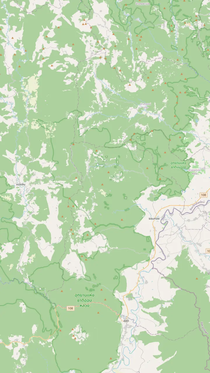
The park is entered at milestone 8, at the Mae Klang Waterfall.
Google MapsA 70-metre waterfall at the 22nd kilometre of the park road.
Google MapsOne of the 13 waterfalls that the park lists among its attractions.
Google MapsA nature-trail waterfall that closed once when the water ran high.
Google MapsTAT calls Mae Ya the most beautiful waterfall in the country.
Google MapsZone 3 of the park lodging is at the Mae Pan and Huai Sai Lueang waterfall area.
Google Maps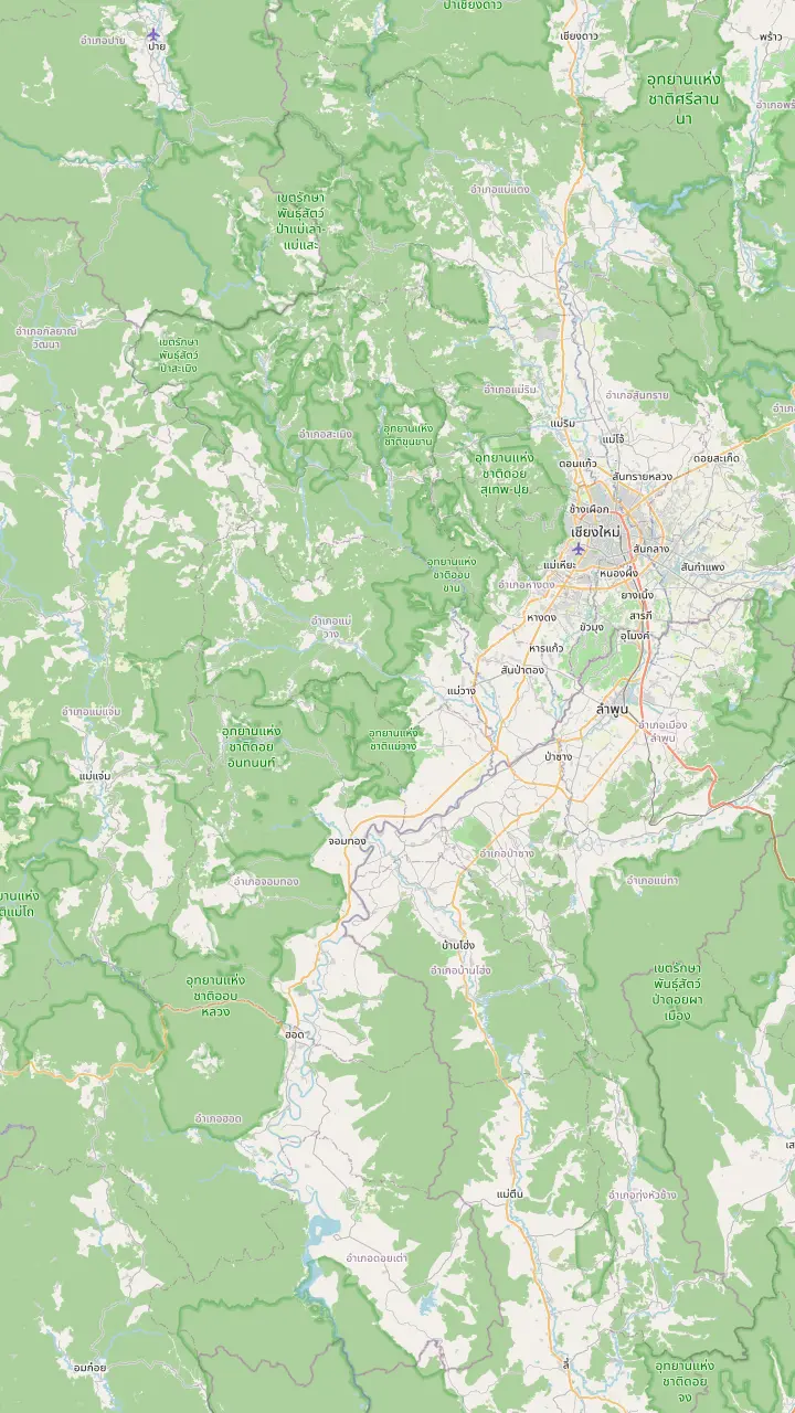
A gate of the old city of Chiang Mai, used here as the reference point for the drive.
Google MapsThe district on Route 108 where Highway 1009, the park road, branches off.
Google MapsThe park is entered at milestone 8, at the Mae Klang Waterfall.
Google MapsThe park headquarters stand at milestone 31 on the park road.
Google MapsThe summit stands 2,565 meters above sea level, the highest point in Thailand.
Google Maps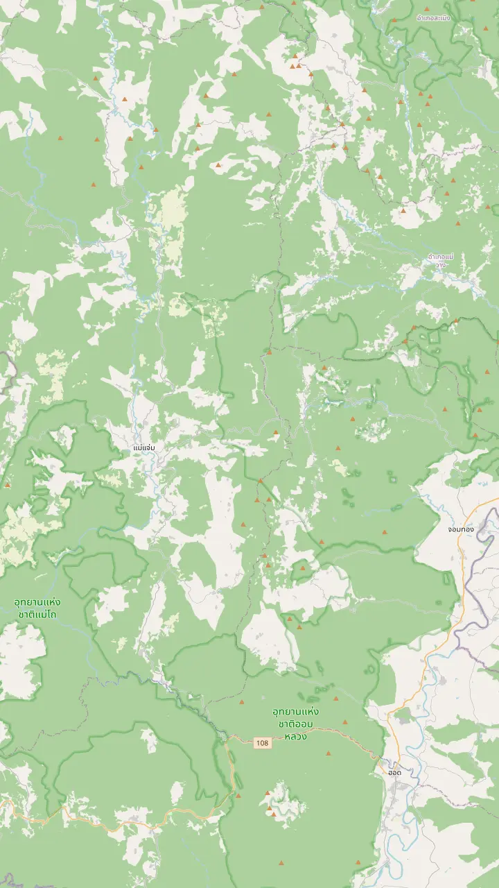
The park headquarters stand at milestone 31 on the park road.
Google MapsZone 3 of the park lodging is at the Mae Pan and Huai Sai Lueang waterfall area.
Google MapsA hill village with a coffee shop and a coffee tasting on a small-group trek.
Google MapsA Royal Project center with 3 guest houses and certified homestays at Baan Pong Noi.
Google MapsTAT suggests this district as an overnight stop, about 2 hours west of Wachirathan.
Google MapsThe district on Route 108 where Highway 1009, the park road, branches off.
Google MapsMap data: © OpenStreetMap contributors
The park lists many falls, but a day has limited room. See where each one sits along the park road, how the sources describe them and how the rainy months change the walk.
Editorial team, doiinthanontour.top · Updated November 16, 2026 · 9 mins to read
Main facts
Doi Inthanon is a watershed, and the park's own text lists the streams that start on it, such as the Mae Klang, the Mae Ya and the Mae Pan, along with a Mae Ping tributary that feeds the Bhumibol Dam.6 With that much water leaving the slopes, it is no surprise that waterfalls are a main reason people come to the park. Reading the park through its water is a good way to understand the geography, because every fall you see is a stream on its way down to a valley farm or a town far below.
The national park service lists 13 waterfalls among its attractions, from Thaen Phra Sang and Pha Dok Siao to Mae Klang, Mae Pan, Mae Ya, Lan Sadet, Wachirathan, Wang Khwai, Wang Muang, Sirithan, Siriphum, Huai Sai Lueang and Op Noi.1 A day only has room for a handful, so choosing is part of the plan, and the road order decides most of it. Sorting that list by distance from the road is the quickest way to build a realistic plan, and the map block above shows where each of the main ones sits.
Coming from Chiang Mai you follow Route 108 for about 56 kilometers, turn onto Highway 1009 near Chom Thong, and meet the park at milestone 8, where the Mae Klang Waterfall stands.7,8 From there the road climbs, and each fall sits at its own milestone along it. Keep a note of the milestone numbers painted on the roadside, since guides and rangers use them to describe where a stop is, and they make a handy way to tell how far you have climbed.
Compare the falls
| Waterfall | Where it sits | What the sources say |
|---|---|---|
| Mae Klang | Park entrance, milestone 8 | The park enters here8 |
| Wachirathan | 22nd kilometre | 70 metres high2 |
| Mae Ya | Foothills off highway 1089 | Called the most beautiful in the country3 |
| Pha Dok Siew | Reached by a nature trail | Trail closed once at high water4 |
| Sirithan | On a sightseeing listing | Stop on a no-trek day |
Places and distances as the park and TAT give them; pin positions are on the map above.2
Wachirathan Waterfall in Doi Inthanon National Park is the fall that sits right beside the climbing road. The park's visitor information calls it Vajirathan Waterfall or Tat Khong Yong Waterfall, a 70-metre high fall that comes from the Mae Klang Stream and sits at the 22nd kilometre of the Chom Thong to Doi Inthanon road.2 The viewing deck and the steps beside the stream give the clearest angles, and the morning light is kind when the spray catches the sun.
Sources do not all agree on the height. One day-tour listing describes the fall as 80 m high, while the park's figure is 70 metres.2 Use the park's number as the reference and treat the listing's as a round figure from a seller; whichever you trust, the fall is tall enough that you hear it before you see it from the car park. If the exact height matters to you, quote the park's own number, and use the listing's figure only as a rough sense of scale for how tall the fall looks from below.
Practical details help here. The park's phone-signal list names the Wachirathan tourist area among the places with AIS and TRUE coverage, so you can usually share your location from the spot.10 Keep your camera in a dry pouch, since the spray is constant when the stream is high, and wear shoes that grip on wet stone. Take your time at the viewing deck, step back for a wide photograph, then move closer for the details of the rock and the moss that line the sides of the fall.
TAT describes Mae Ya as the country's most beautiful waterfall, which is a strong claim to make about any waterfall.3 It sits in the foothills of the mountain rather than on the upper road, so it works best as the first or the last stop of a visit instead of an afterthought. Think of Mae Ya as a short trip of its own in the foothills, with a different feel from the cool forest higher up, and give it a calm, unhurried stop.
The tourism authority's own itinerary shows the logic. It calls Mae Ya Waterfalls the refreshing first stop, located in the foothills not too far off Highway 108, and then says you can venture about 30 kilometres up to Wachirathan for a double-waterfalls day.9,5 That order keeps the climb gradual and puts the cool summit air at the end. That is a sensible way to build a long day, and a guide or a driver can reshuffle the order if the weather or the traffic on the road changes your plan on the morning itself.
Searchers who type Mae Ya Waterfall in Doi Inthanon National Park may expect it to share a car park with the others, and it does not. Plan its own time, check the fall's access on the day with the operator or the park office, and avoid a rushed schedule that squeezes the foothills stop into the last light. A conversation with the driver the night before settles most of this, and it is worth asking whether the foothills stop is already part of the itinerary you booked.
Pick your falls
Pick the kind of waterfall day you want and the matching stop appears.
If I want a big fall with no hiking
Wachirathan
It is a 70-metre fall right beside the road.2
If I want the fall TAT praises
Mae Ya
TAT calls it the most beautiful waterfall in the country.3
If I want a walk as well
Pha Dok Siew
Listings sell a trek of 2 hours on this trail.
If I have limited time
Wachirathan plus the summit
The site tour fits both into 9 hours.
If I am travelling in the rainy months
Any, with shoes that grip
The rains run from June to November.12
Ways in
Wachirathan
Short walk from the car
See this option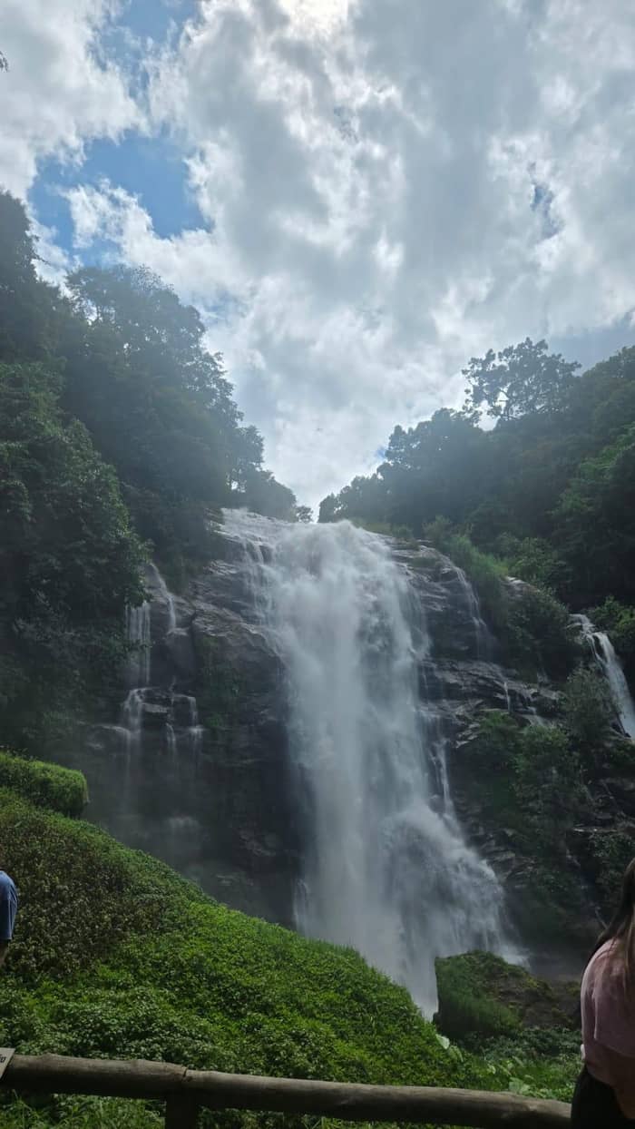
Mae Ya
A separate stop
See this option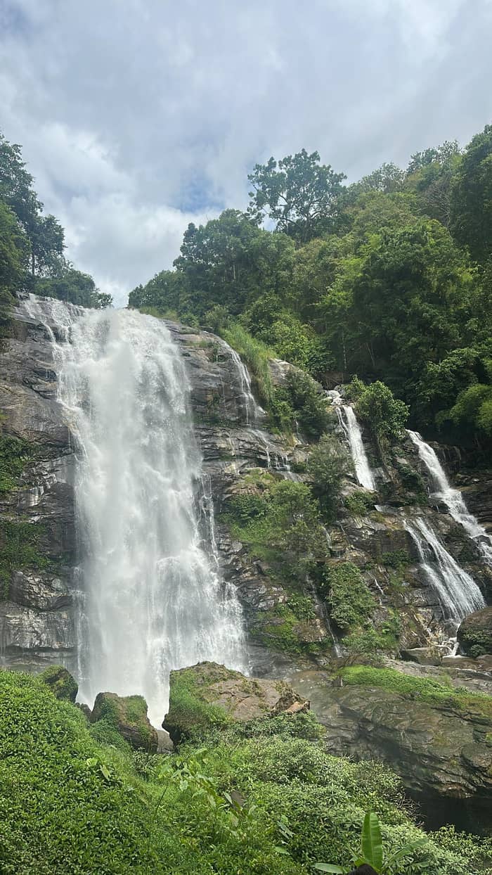
Pha Dok Siew
Walk plus waterfall
The entrance waterfall deserves a pause. The park describes entering at milestone 8, at the Mae Klang Waterfall, and the headquarters stand at milestone 31.8 Between them lie the other named falls, and the road is a good map. Read the milestones as a checklist as you climb, and mark off each stop on the map above so that you always know how much of the mountain is still ahead of you today.
Some tours stop at Sirithan Waterfall as well as Wachirathan. A small-group sightseeing listing with pickup included names both, along with the Ang Ka Nature Trail and a Hmong community market, in a day with no trek. That is a useful template if you want falls and views without a long walk. A day like that is gentler for anyone nervous about wet paths, and it still leaves time for the summit and a long lunch with a view.
Siriphum Waterfall and the others in the park's list are less familiar names. The park lists them among 13 attractions, so ask the guide or the ranger at the office which are easy to reach on your date, and check them off the list one at a time instead of trying to see everything.1 You will enjoy the day more with a few good stops than with a rushed procession of them, so let the guide's local knowledge decide which of the quieter falls to include.
Price the water
Choose your group size and compare the day tours that stop at waterfalls.
4 options compared
Choose your group size and compare the day tours that stop at waterfalls.
≈
View≈
View≈
View≈
ViewStarting prices as on the booking platform, converted at the ECB reference rate. You see the exact price at booking.
The climb in order
Early start
TAT starts at Mae Ya, in the foothills near highway 108.9
Mid-morning
Entry is at milestone 8, at the Mae Klang Waterfall.8
Late morning
A 70-metre fall at the 22nd kilometre.2
Midday
The park office stands at milestone 31.8
Afternoon
Pha Dok Siew is a nature-trail fall.4
Pha Dok Siao, which tours spell Pha Dok Siew, is a waterfall that comes with a nature trail. The Pha Dok Siew trail and its falls were shut in an emergency in August 2019, to keep visitors and officers safe.4 That detail tells you the walk is tied to water levels and park decisions. Treat any trail as something the weather can change, check conditions on the morning, and be ready to take the alternative route your guide suggests without a fuss.
Several listings sell the trek. One day trip lists a guided trek of 2 hours here, with falls where swimming is not allowed. A small-group listing puts the walk at 2 to 3 hours along narrow jungle paths. If you want a walk and a waterfall in a single outing, this is the route to look for. Ask the operator for the length, the ascent and the surface before you book, because narrow jungle paths feel very different from the boardwalks higher on the mountain.
Season matters. One listing sets the Pha Dok Siew season at May to October and gives the Kew Mae Pan ridge trail November to April, with weather and park rules deciding. The two walks are therefore almost opposites on the calendar, which makes Pha Dok Siew the waterfall walk of the green months. If you travel in the dry months, look at the other trail on the mountain instead, and give the waterfall walk a place on a return visit in the green season.
Video
TreadAsia on YouTube · Video data is requested only when you tap play.
you can venture about 30 kilometres up to visit Wachirathan Waterfalls to make it a double-waterfalls day
Before the water
The park's rainy season runs from June to November, and that is the season when rain is most likely.12 Paths are at their wettest then, so bring shoes with grip, a shell and a waterproof sleeve for the phone, and give each stop its time. If you plan to take photographs, bring a lens cloth too, since spray and mist settle on glass faster than you expect, and keep a spare layer in the bag for the drive down.
The Pha Dok Siew closure is a clear reminder that the park acts on water levels. The notice said the trail and waterfalls would reopen once the water level had returned to normal.21 If a stop on your day is closed, treat it as normal practice and let the guide swap it for another. A ranger's word about a path on the day is worth more than any schedule printed in advance, and a good guide will pass it straight on.
Swimming rules vary by stop. The Pha Dok Siew listing calls its waterfalls no-swim, and the park's activity list names visiting waterfalls rather than bathing.22 Stay on marked paths, keep children close near the edge, and follow the ranger's signs about where to stand. These small habits keep a pleasant waterfall day from turning into an uncomfortable one, and they cost nothing apart from a little attention.
Match the tour to the falls you want. The 9-hour site tour stops at Wachirathan Waterfall along with the Ang Ka trail, the grand pagoda and Mae Klang Luang, from $38 with free cancellation up to 24 hours in advance. That suits readers who want one main waterfall inside a full day. Check the pickup time and the meeting point before you commit, since the early start is what leaves room for the foothills stop and the summit together.
For more water, look at the shared-van day with lunch, where the park fee is included or excluded by option, or the long day through waterfalls and tribal villages. Read the fee option before you book, since a day with the fee included settles the gate payment for you and one without leaves it to you. The cancellation window on each is shown on the booking page, which makes it simple to compare the two side by side before you pay.
If you would rather drive yourself, the road from the highway to the park is clear, and the park headquarters at milestone 31 can answer questions on the way.8 Start early, take the foothills stop first, and let the summit be the last high point of the day, with the waterfall mist behind you. However you travel, check the weather the day before, pack a shell, and keep the schedule loose enough to let a good waterfall hold you for a little longer.
FAQ
It is a 70-metre fall at the 22nd kilometre of the park road, and day tours reach it easily.2
They include Wachirathan, Mae Ya, Mae Klang, Siriphum and Pha Dok Siao.1
The Pha Dok Siew listing names its waterfalls as no-swim, so follow the guide's rules at each stop.
Visitors enter at milestone 8, at the Mae Klang Waterfall, with the headquarters at milestone 31.8
The park's rainy season runs from June to November.12
Sources
Planning a day on Doi Inthanon? Ask a real person here.